Objectives
This pilot focuses on the integration and harmonization of the underground network data coming from the municipality and the Utility companies.
Data and specialized services will be integrated in existing GIS platform supporting an integrated approach on the management and maintenance of the networks data.
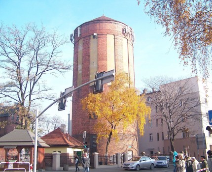
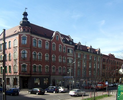
Ruda Śląska
Ruda ŚląskaPoland
50° 15′ 20.9838″ N, 18° 51′ 20.052″ E
Scenario
Underground


