- Poster (1.021Kb)

- Piano Clima 2013 (3.736Kb)

- Collana Ambiente Bilancio Ambientale (804Kb)
- Collana Ambiente Verde (1.748Kb)
- Collana Ambiente Rifiuti (727Kb)
- Collana Ambiente Linee intervento (954Kb)
- Collana Ambiente Energia (804Kb)
- Conto Consuntivo Ambientale 2012 (1.431Kb)
Objectives
The pilot will use geodata internally (to help politicians for strategic purposes, and technicians in daily work), and open/disseminate information about municipal buildings to the public.
Open data will be related to municipal buildings used for public services, to be provided also as map services and dashboard, as well as pre-defined reports. A second use case will consider the same services about “other” buildings.
Municipality of Reggio Emilia will use GeoSmartCity HUB to control the city SEAP (Sustainable Energy Action Plan).
Data providers are mainly public authorities at local, regional and national level.

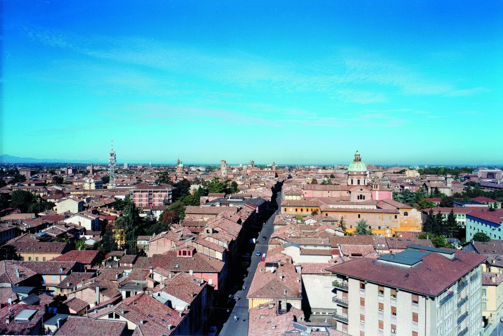


Comune di Reggio Emilia
Piazza Prampolini, 142121 Reggio Emilia
Italy
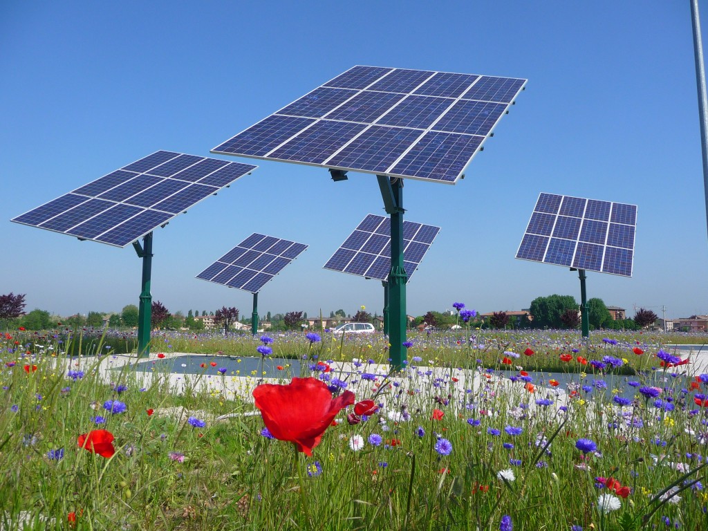
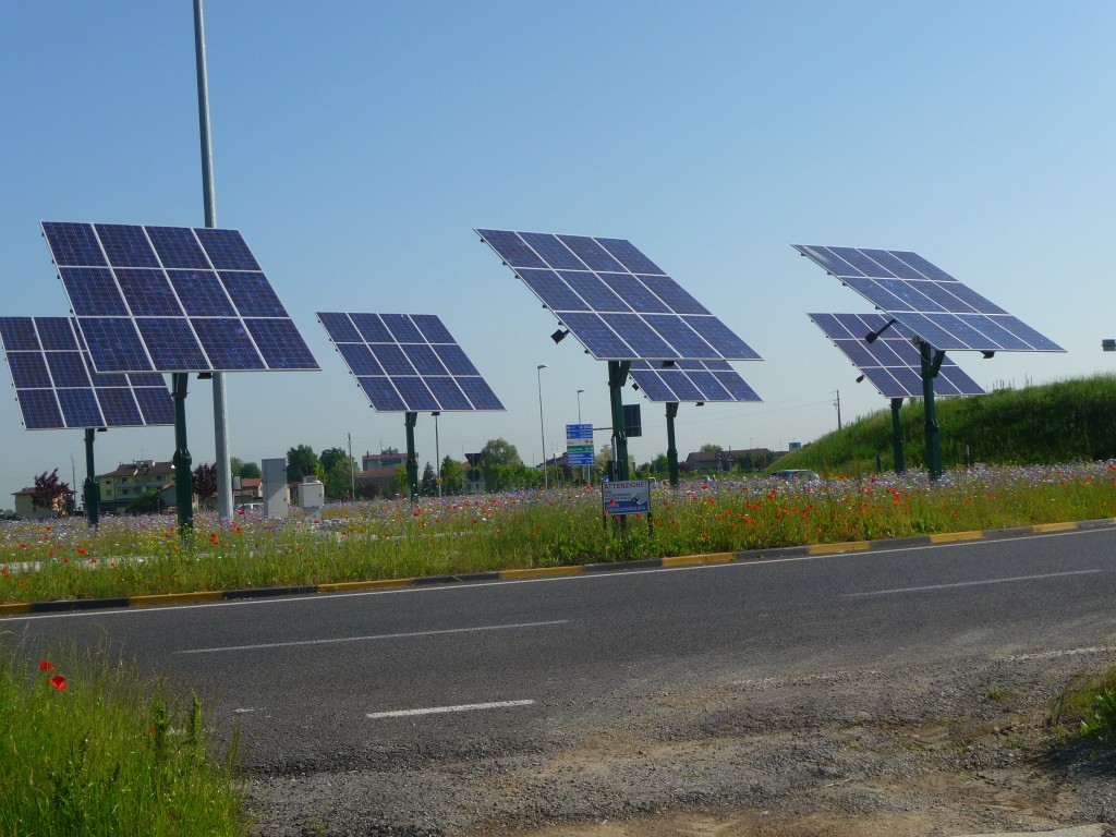
Scenario
Green Energy