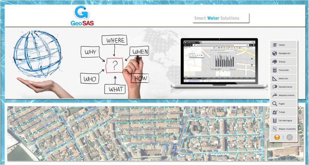
Objectives
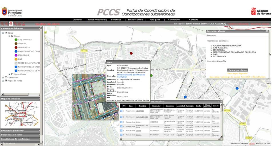
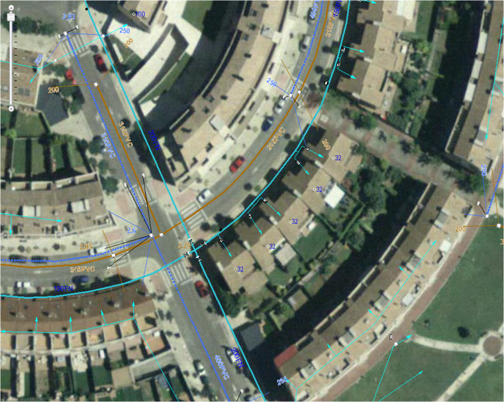
The Pilot main aim is the efficiency increase in the management of groundwater information, including access to real time information on water and sewage network data.
A first use case wants to improve the existing GIS platform for integrating on it real-time data provided by smart sensors.
The second use case is based on alerting on anomalous values on the sensor monitored network.
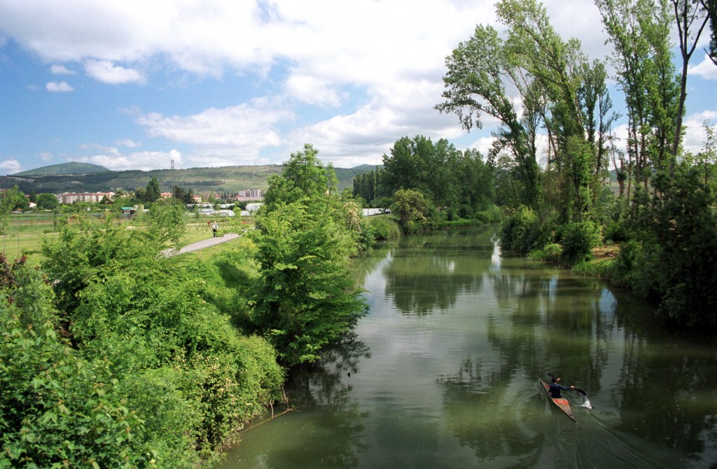
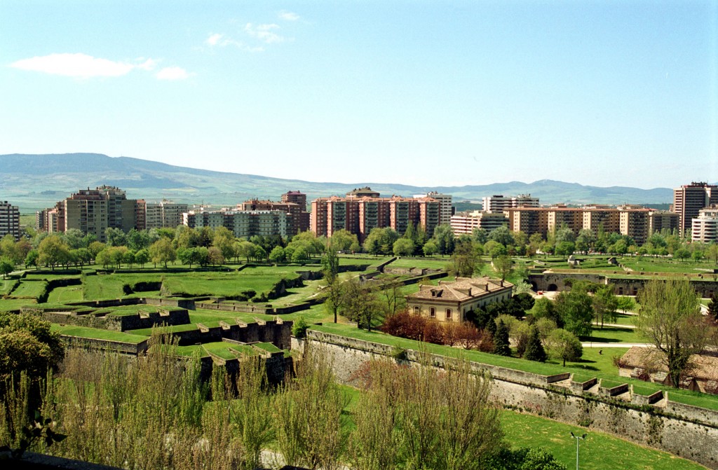


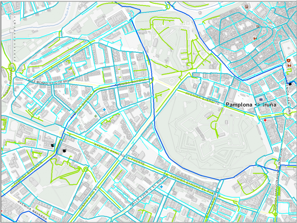
Comarca of Pamplona
Comarca de PamplonaSpain
42° 48′ 51.3″ N, 1° 35′ 50.2″ W
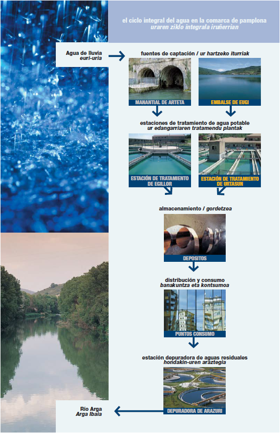
Scenario
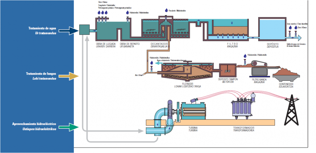
Underground