Ruda Śląska
Integrated WebGIS platform giving the ability to verify/update basic information on the underground networks
The Pilot in Ruda Śląska is prepared to make data integration easier.
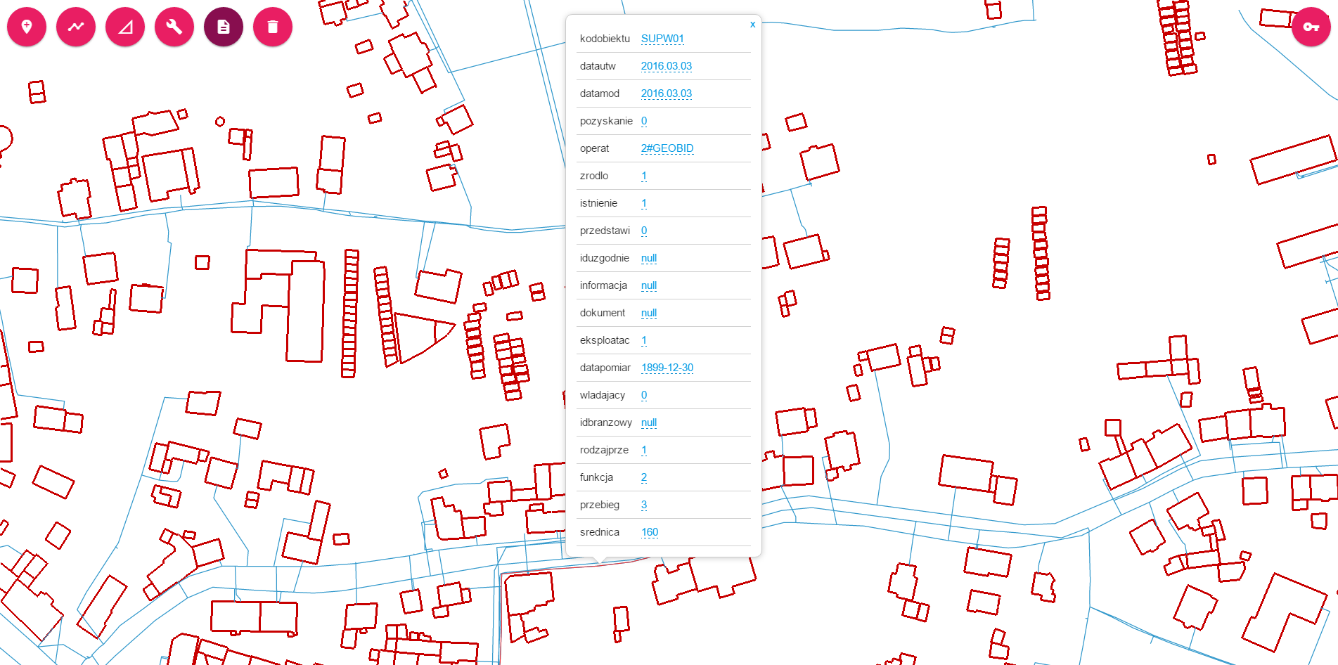
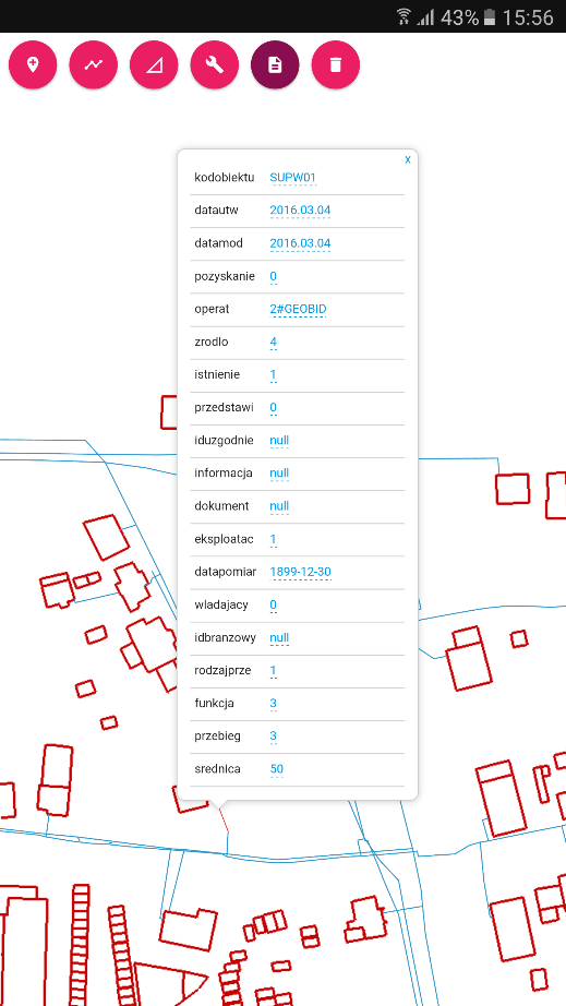
The Pilot functionality is integrated WebGIS platform giving the ability to verify/update basic information on the underground networks and to share the data in order to clarify the ownership issues.
Fast correction will allow everybody to have the latest data in their systems, this helps managing the underground network by both – network gesture and municipality.
The WebApp is responsive so it is possible to use it both stationary and during the field works.
Functionalities
The pilot web based client application offers the following functionalities:- Map + basic map controls using gsc.js, the GeoSmartCity Client Side JavaScript Library API
- Adding WMS layers using the GeoSmartCity Client Side JavaScript Library API
- Editing objects using the GeoSmartCity Client Side JavaScript Library API
Impact and benefits
- Integrity of underground data in municipality and network owner databases
- The "lifecycle" of the database can be easily tracked by everyone with the access to the WebGIS platform
- Fast data flow between municipality and network gesture.
Access the application
Access is currently restricted to project partners, contact us to register.Interested?
This application has been developed by GEOBID.
For inquiries and to know more about this experience please contact GEOBID or CONTACT US.
GeoSmartCity Hub components used
GeoSmartCity Specialized Services
Data management
- GeoSmartCity Data Catalogue tool for managing the data sources
- The GeoSmartCity Client Side API for the web application creation
Training Material
 Learn more by following this presentation in our eLearning platform.